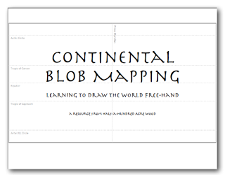


PDF Download: Continental Blob Map Packet - Community License
A first step in learning to draw the world free-hand!
For classrooms, communities, or co-ops who are learning to draw the world from memory, here's a simple way to learn the basic forms of the continents in relations to the five major circles of latitude. Two versions of each map are included - one to use across an entire sheet of paper (for simply learning to do this freehand on a sheet of paper without a template) and another that uses a more accurate spacing for the major circles of latitude (since an 8.5″ x 11″ piece of paper is not wide enough for accurate spacing).
This listing is for a community license, valid for use within a single class or co-op.
This comes as a formatted 13-page PDF digital download of the entire Continental Blob Mapping Packet for use within your family or co-op, along with simple instructions for use. A link to download the PDF Document will be automatically sent to the Paypal email address used at checkout.
Affiliates
Like this product?
Spread the word about it and earn 20.00% of the purchase price on sales you refer.
Join our affiliate program